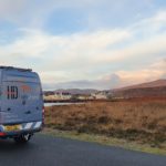
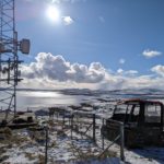
Out conducting elevation surveys in Lochboisdale, South Uist, for new harbour development works.
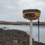
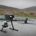
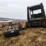
Operating with the DJI M300 RTK fitted with the P1 45mp full frame camera. To ensure accuracy of our mapping, we work with the Topcon GNSS equipment. This time with the Hiper V and FC5000 controller.